
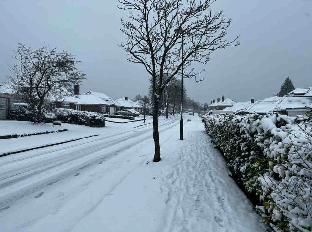
The UK will see another blast of Arctic air this week, with freezing temperatures and snow affecting many areas. Roads may become icy, making travel difficult in some places, and the Met Office has put yellow warnings in place to keep everyone up-to-date. Residents and commuters are being advised to plan ahead and take care while going about their day.
Snow and Ice Warnings Take Effect
The Met Office issued yellow weather warnings for snow and ice covering Scotland, northern England, and eastern England, starting Monday afternoon. Sleet and snow showers will continue through Monday evening and overnight, potentially delaying travel.
Northern Ireland faces a yellow ice warning from 8:00 PM Monday until 10:00 AM Tuesday. Drivers and pedestrians should take extra care, as black ice and slippery conditions could make roads dangerous.
Key warnings include:
- Northern Scotland: snow and ice from 3:00 PM Monday to 10:00 AM Tuesday
- Southern Scotland and northern/eastern England: ice from 6:00 PM Monday to 10:00 AM Tuesday
- Northern Ireland: Ice from 8:00 PM Monday to 10:00 AM Tuesday
Weather Forecast for Monday and Tuesday
Monday will bring blustery showers with occasional brighter spells across much of the UK. Scotland will see continued wintry showers, with snow settling over higher ground.
By Monday night, Arctic air will move south, lowering snow levels in Scotland and raising the risk of icy roads. Some snow showers may also appear across the North York Moors.
Tuesday should be mostly dry with sunny intervals for many areas. Temperatures will range between 3°C (37.4°F) and 6°C (42.8°F). A cold northerly wind will make temperatures feel even lower, especially in eastern areas, where the wind chill could bring conditions close to freezing.
Wednesday and Beyond
Early Wednesday, temperatures could drop near freezing across most of the UK. Temperatures in northern and northeastern Scotland could drop as low as -8°C to -10°C, and the Met Office might issue more ice warnings.
Later Wednesday, rain will move in from the south and west, bringing a mix of rain, sleet, and hill snow. Forecasters continue to monitor the system and may issue further snow warnings if needed.
By the end of the week, conditions should turn drier and milder.
Flood Alerts Remain
Heavy rainfall left the ground saturated in parts of England and Wales. The Environment Agency issued 70 flood warnings and 195 flood alerts across southern England and the Midlands. Authorities protected over 24,000 homes and businesses, though about 330 properties experienced flooding.
Forecasters expect more heavy rain in southern England and South Wales on Wednesday. Officials may issue new flood alerts if conditions worsen.
Natural Resources Wales issued four flood alerts for the upper Severn catchment in Powys, the Vyrnwy catchment, the lower Severn catchment in Powys, and south Pembrokeshire.
Safety Tips:
- Drive carefully—black ice can make roads slippery, and watch your step outdoors.
- Monitor flood warnings and take necessary precautions to safeguard your home and belongings.
- Wrap up in warm clothes and try to stay indoors as much as possible, especially in the colder northern areas. A brief walk is fine, but don’t stay out for too long.
- Keep checking updates from the Met Office and Environment Agency, since the weather and flood conditions can change at any time.